Cary Area an Economic “Boom Town” According to New Study
Cary, NC – Cary and its surrounding municipalities are growing quickly, as local residents can see, and a new study shows that local growth stands out nationwide, in both population, housing and income.
Rapidly Growing Cities
In a new study by GoBankingRates, a financial advice website and researcher, the local metropolitan area (Raleigh, Cary, Morrisville, etc.) ranked eighth in the country for mid-sized cities that are growing rapidly.
This study did not only take population growth into account as it also factors in income and GDP growth as well as the growth of housing stock. But on population growth, the Cary-Raleigh-Morrisville area does stand out, with an 11 percent increase between 2012 and 2017. Most of the metropolitan areas in the study had a population growth of fewer then 10 percent.
Related to population increase, the local area had the third-highest increase in housing, at 10.3 percent, falling behind only Bismarck, North Dakota and Santa Fe, New Mexico, while also tying with Sioux Falls, North Dakota.
Economic Growth
Not only does the Cary-Raleigh-Morrisville area have rapid population growth, the GoBankingRates study also finds significant economic growth in that five-year period.
Between 2012 and 2017, per capita personal income grew by 15 percent, based on data from the Bureau of Economic Analysis. Additionally, the GDP of the metropolitan area grew 33 percent.
The Cary-Raleigh-Morrisville area is the highest-ranked metropolitan area in North Carolina in the study, with the Durham area ranked 14th, though it saw more per capital personal income growth with 15.8 percent.
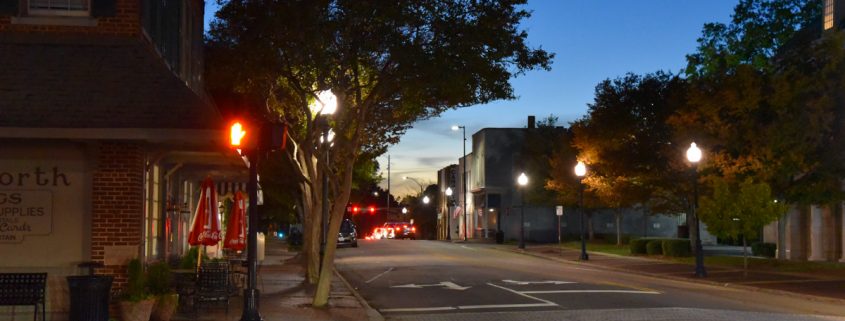
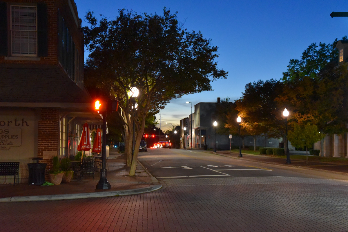
Story by staff reports. Photos by Hal Goodtree.


Beautifully framed and timed photographs!
Wonderful to see our area is doing well, god job Town of Cary. We sure love the greenways, another dog park/pickleball courts would be a great addition!
What is the plan for the new park out near Green Level and Green Level Church road?
I also question what the traffic plan is and when it is scheduled , particularly for downtown grid lock between 4:30 and 6:30?
What is DOT’s plan and timing for 54? Also a complete mess and would seem to have needed a widening in the works ASAP.
I agree with Michael Okoli, Jr. As downtown continues to be a “magnet” for new housing and development, it appears the thoroughfares across town are lagging behind. On any given 5PM day, the lock up between Academy and Harrison starts – then throw in a couple of trains and shazam!. As for Chapel Hill Road (the alternative to coming through downtown Cary), this old 2 lane road is a hodge-podge road that expands and contracts to multiple lanes from SE Maynard west to Lowes then onward to Cary Parkway at Park West. Then you have the mid-town scamper around the fountain to get to Kildare Road or Walnut which will be plagued by the parking deck and library traffic. Just wondering what the plan is….
Seems like I saw a plan where they would extend Harrison behind the Art Center & School & tie it into Kildare. That would seem to alleviate some of that rush hour traffic in front of the Art Center. Has that plan been abandoned?
Mmmmm that would be interesting to see the plans as that would increase traffic even more around prime residential and take up more property behind the school.
It would take up minimal property behind the school; the road can run down what’s currently the west edge of the large empty field, so it wouldn’t even clip any facilities or equipment installations.
It’s a bigger impact to 425 S Harrison, a bit from 421 and 429, and then the lots that are between the school property and the houses on Shirley. They’d essentially be overrun by the new road. Designers could save some space by making it one-way southbound from Harrison to KF.
And a lot of that traffic is already in the general area here, either going around Dry to KF, or going further down Harrison to come out on Maynard down there, after Harrison turns into Griffis. This road should actually reduce traffic in both of those places, though it may increase to some extent north of there on Harrison, as more people might start coming that way for travel that currently go other ways to avoid the current Harrison-Dry-KF or Harrison-Griffis-Maynard routes.
While the area is experiencing this level of growth and development, what is being done to accommodate traffic?.