Snow Possible Thursday Night in Cary
Cary, NC – The National Weather Service (NWS) has issued a Winter Storm Watch for Thursday evening in the vicinity of Cary. The little icon next to Thursday night’s weather is a snow flake.
Thursday Night Snow?
The temperature is projected to decline all day Thursday, from a high of 57° F at 1 AM falling to around 36° by around 10 PM.
There’s a 50% chance of rain before noon on Thursday, rising toward 100% in the afternoon and evening. The rain may change over to snow late Thursday evening and into Friday morning.
From the NWS:
A POWERFUL STORM SYSTEM WILL MOVE TO THE EAST-NORTHEAST THROUGH THE CAROLINAS THURSDAY AFTERNOON AND NIGHT. AS COLDER AIR MOVES IN… RAIN IS EXPECTED TO CHANGE TO SNOW.
“Snow, heavy at times, will develop on Thursday from northern Georgia to southern West Virginia into northern Virginia and southern Maryland, including the Washington, D.C. metro area. The greatest snow accumulations (8+ inches) will be found in the high terrain. Meanwhile, snowfall of 2 to 6 inches is forecast for the Washington, D.C. area, greatest in the southern metro,” according to NWS.
Accumulations of 1-3″ are possible, according to Wunderground.com. Conditions could be dangerous as the temp continues to fall toward a low of 27° F around 7 AM Friday.
Mild Friday
And, just like that, the front will pass through, leaving us with sunny 54° and mild for the rest of Friday.
The weekend looks to be equally mild and sunny, with temps in the low 50’s.
Sensible Precautions
Ice storms can bring down power lines. Check to see if you have batteries and make sure your cell phone is charged.
Avoid driving if at all possible Thursday night into Friday morning. If you must be out, drive carefully. Slippery conditions are expected.
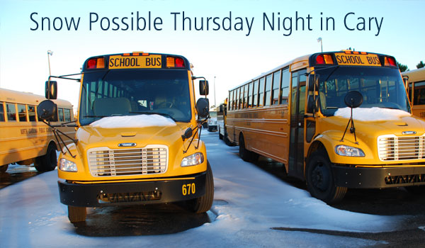
And if school is cancelled or delayed, just roll with it.
———————————————————————————
Photo by Hal Goodtree.